GEOGRAPHIC ENVIRONMENT & ROAD NETWORK
RoadLife Europe: Truckers Map & Locations
RoadLife Europe: Truckers departs from traditional scaled-down mobile trucking games by featuring a 1:1 true-to-life geographic scale focused on the road networks of the Czech Republic (Czechia).
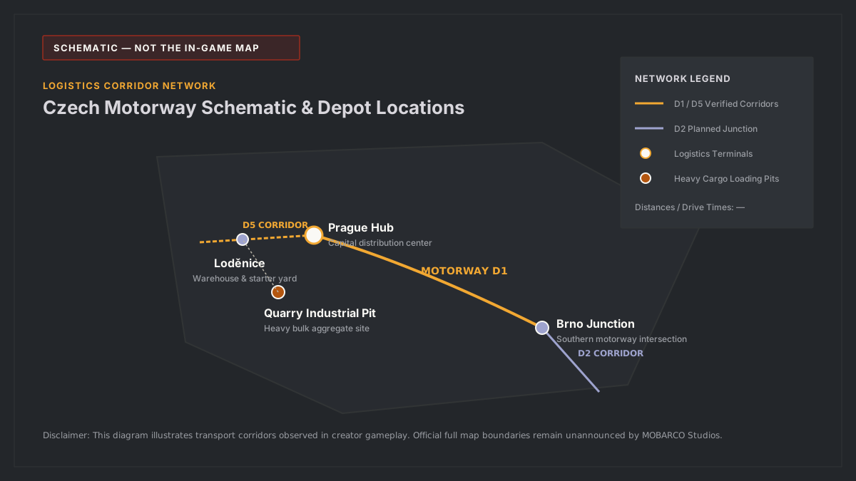
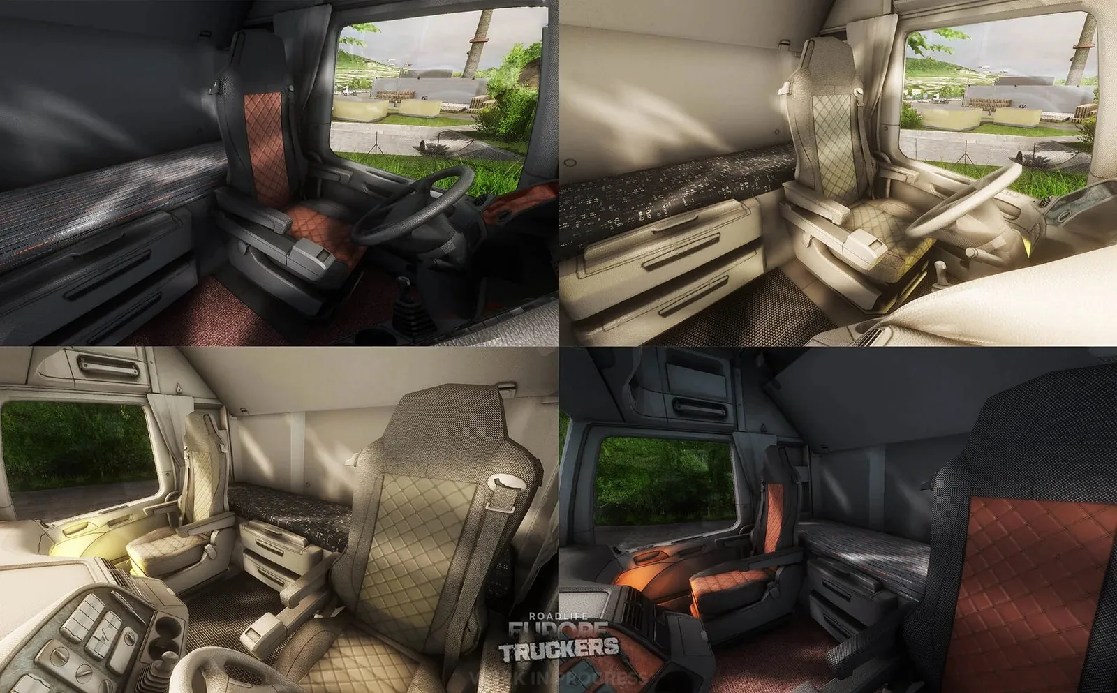
TOPOGRAPHIC SIMULATION ENVIRONMENT
Central Bohemian Freight Corridors (Czechia)
The map focuses on high-density commercial transport hubs, featuring multi-tiered asphalt highways, tight rural roundabout junctions, and active industrial production facilities with dynamic loading gates.
REGION: CENTRAL BOHEMIA
SCALE: 1:1 REAL-WORLD RATIO
SURFACE: D1/D5 MOTORWAYS & RURAL CLASS-II CORRIDORS
Confirmed & Candidate Geographic Regions
| Location Name | Geographic Scope | Primary Facility Types | Road Scale Ratio | Verification Status | Source |
|---|---|---|---|---|---|
| Loděnice (Central Bohemia) | Beroun District, Czechia | Logistics depots, pallet warehouses, highway transit | 1:1 True Scale | Confirmed in Developer Previews | Official Video Road Signs |
| Industrial Quarry & Cement Hub | Regional Czech Quarry Belt | Gravel extraction pit, cement silos, off-road dirt spurs | 1:1 True Scale | Confirmed in Developer Previews | Technical Physics Trailer |
| Greater Prague Metropolitan Ring | Transit Junctions | Interchange junctions, customs checkpoints | — | Pending Verification | Community Roadmap Discussions |
| Pilsen (Plzeň) Industrial Belt | Western Transport Link | Manufacturing complexes, freight loading yards | — | Pending Verification | Developer Teaser Mention |
Source: MOBARCO Studios developer gameplay trailers. All unconfirmed parameters marked with —.
Corridor Distance & Estimated Travel Times
| Route Corridor | Origin → Destination | Road Classification | Observed In-Game Distance | Estimated Drive Time | Terrain Profile |
|---|---|---|---|---|---|
| Loděnice → Prague Ring | Logistics Yard → Highway Junction | Motorway D5 Corridor | — | — | Paved dual-carriageway with asphalt ramps |
| Loděnice → Regional Quarry | Warehouse → Industrial Extraction Pit | Class II Rural & Dirt Spur | — | — | Tight corners, unpaved gravel gradient |
| Prague → Brno Corridor | Capital Ring → South Junction | Motorway D1 Trunk Line | — | — | Heavy commercial transit corridor |
Exact in-game odometer distances and transit minutes remain unannounced ("—") pending public beta telemetry.
Free Mode Highway & Infrastructure Demonstration

Free Mode highway exploration inspecting Czech road infrastructure, rest stops, and terrain elevation.
Third-party footage. Not affiliated with MOBARCO Studios.